🌲 Surveying Forest Borders with Helicopters – 6 Powerful Advantages for Boundary Protection and Mapping
Surveying forest borders with helicopters improves accuracy, speeds up demarcation, and supports anti-encroachment drives. DreamSafar.in highlights 6 powerful benefits of aerial forest surveying.
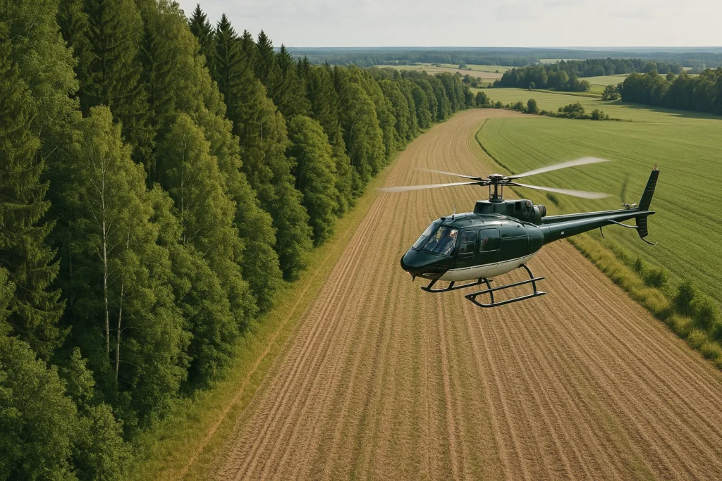
🚁 Surveying Forest Borders with Helicopters – Faster, Safer & More Accurate Mapping
India’s forests face constant pressure from encroachment, mining, agriculture, and infrastructure projects. Ground-based boundary demarcation can take weeks and often lacks visibility in tough terrain. That’s where surveying forest borders with helicopters proves invaluable—offering quick, accurate, and large-scale visibility of forest perimeters.
In this article, DreamSafar.in explores 6 powerful advantages of using helicopters to survey forest borders, ensuring stronger environmental governance and data-driven forest protection.
🗺️ 1. Rapid Demarcation of Forest Perimeters
Helicopters enable:
-
Fast tracing of forest compartments, beats, and blocks
-
High-speed aerial capture of natural and legal boundaries
-
Visual mapping of borders across hundreds of sq. km/day
✅ Surveying forest borders with helicopters reduces weeks of manual work to just a few hours
📸 2. High-Resolution Imaging for Map Correction
Helicopter-mounted sensors capture:
-
Ortho-rectified imagery
-
LIDAR data for topographic mapping
-
Infrared images to see through foliage
✅ Helps forest departments update:
-
Working Plans
-
Reserve Forest maps
-
Joint Forest Management boundaries
🚫 3. Detection of Encroachment and Illegal Activity
Aerial views help spot:
-
New settlements or farmland within forest areas
-
Illegal tree felling near borders
-
Mining and road construction without permits
✅ Surveying forest borders with helicopters empowers quick legal action and eviction drives
🛡️ 4. Support for Protected Area Management
Especially useful in:
-
Wildlife sanctuaries
-
Elephant corridors
-
Tiger Reserves
…where forest borders are critical for:
-
Buffer zone integrity
-
Wildlife movement
-
Human-wildlife conflict mitigation
✅ Aerial boundary surveillance strengthens eco-sensitive zone protection
🌍 5. Ground Truth Validation for Satellite Mapping
While satellites offer general forest coverage:
-
Helicopters verify fine-scale boundaries
-
Provide accurate GPS-tagged visual data
-
Fill in gaps in cloud-covered or disputed zones
✅ Ensures more credible and defendable forest ownership data
💧 6. Monitoring Borders Along Rivers and Wetlands
In riparian zones, helicopters can:
-
Fly over inaccessible marshes
-
Track seasonal river shifts impacting boundaries
-
Document encroachments on floodplains or forest-wetland overlaps
✅ Crucial for fragile wetland forests and Ramsar sites
📊 Cost Estimate – Surveying Forest Borders with Helicopters
| Operation Type | Approx. Cost (INR) |
|---|---|
| Visual Border Survey (1 hour) | ₹75,000 – ₹1.2 lakh |
| LIDAR + Aerial Imaging Survey | ₹2 – ₹4 lakh/hour |
| Full Range Mapping (Per 100 sq. km) | ₹12 – ₹25 lakh |
| Forest Boundary Validation Mission | ₹15 – ₹30 lakh per project |
✅ Many state forest departments use CAMPA or externally funded programs for these missions
🗺️ States Using Helicopters for Forest Border Surveys
| State | Forest Zone | Helicopter Use Case |
|---|---|---|
| Chhattisgarh | Bastar, Dandakaranya | Encroachment check & tribal land disputes |
| Uttarakhand | Rajaji, Corbett forests | Buffer zone aerial mapping |
| Karnataka | Western Ghats Biosphere | Forest-agriculture boundary survey |
| West Bengal | Sundarbans | Riverine forest edge monitoring |
❓ FAQ – Surveying Forest Borders with Helicopters
❓ Is helicopter surveying legal in eco-sensitive zones?
Yes, with MoEFCC & DGCA approval, helicopter use is permitted for non-invasive forest surveillance and survey work.
❓ Can helicopters replace drones for forest mapping?
Not entirely. Helicopters are ideal for:
-
Large area, high-end sensor flights
-
Crew-based observations
-
Transporting GIS experts and ground markers
❓ What data is collected during forest border surveys?
-
GPS coordinates
-
LIDAR/infrared/optical imagery
-
Field boundary overlays
-
Encroachment footage for legal records
🔗 Useful Links – DreamSafar.in
🌐 Resources
🏷️ Tags
surveying forest borders with helicopters, DreamSafar.in, forest encroachment mapping India, aerial forest border survey, helicopter forest monitoring, forest GIS mapping helicopter

